
[Main Page](../index.html "Main Page")
# Outdoor Wi-Fi survey
The goal of this exercise is to discover existing wireless networks and potential locations for new access points.
## Survey Procedure
- From the map below, divide the campus into two sections.
- Five groups will visit the South-East section
- Five groups will visit the North-West Section
- One member of each group will run the WiGLE discovery tool
- One member will take photos of potential access point locations
- All potential installation locations will be marked on a map
- WiGLE data will be uploaded to the Internet
- Share your results to the [Google Doc](https://docs.google.com/document/d/1y87Qq-FXF-3BWWnDGkgZGH3kAwGObLy-2XaLSwG-XkI/edit)
## Campus Map

## Setting up WiGLE
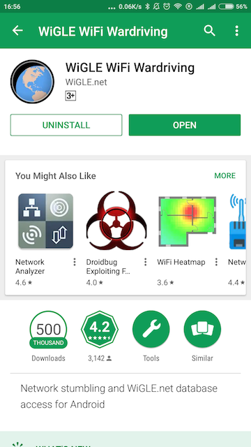
Install WiGLE from the Google Store:
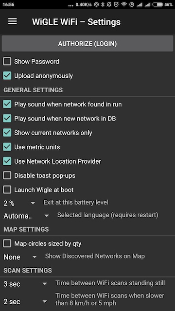
Change the settings:
- Upload Anonymously
- Metric Units
- Use Network Location Provider
Start the program outside the building. One member should keep it open and online while walking. The other group members should take notes and photos.
When finished, upload the data to WiGLE using the button at the top
